Introduction:
Long before the advent of satellite technology, explorers, cartographers, and scientists embarked on remarkable journeys to map and understand the shape of our planet’s continents. This article delves into the fascinating history of how the shape of continents was determined before the era of satellites, highlighting the innovative methods and discoveries that shaped our understanding of Earth’s land masses.
- Early Explorations and Mapping:
Early explorers and navigators, such as Christopher Columbus and Ferdinand Magellan, played significant roles in mapping the continents. Their voyages, fueled by curiosity and the pursuit of new trade routes, led to the discovery and initial mapping of various land masses. These expeditions laid the foundation for further exploration and mapping endeavors. - Ground Surveys and Trigonometry:
Ground surveys became a crucial method for mapping continents before satellites. Surveyors employed sophisticated tools and techniques, including trigonometry, to measure distances and angles. By meticulously measuring points and using triangulation, they were able to create accurate maps depicting the shape and boundaries of continents. - Celestial Observations:
Astronomical observations played a vital role in mapping the continents. Early astronomers used celestial events, such as solar eclipses, to determine latitude and longitude, which were critical for mapping Earth’s surface. These observations, combined with precise timekeeping, allowed for the creation of more accurate maps and charts. - Cartographic Innovations:
Advancements in cartography, the science of mapmaking, contributed to our understanding of continent shapes. Cartographers incorporated information from explorers, ground surveys, and celestial observations into their maps. They refined map projections and employed techniques to minimize distortions, resulting in more accurate depictions of continental shapes. - Underwater Topography:
Determining the shape of continents wasn’t limited to land exploration. Scientific expeditions equipped with sonar technology explored the depths of the oceans, revealing the underwater topography and the contours of continental shelves. These findings provided valuable insights into the connection between landmasses and oceanic features. - Satellite-Aided Surveys:
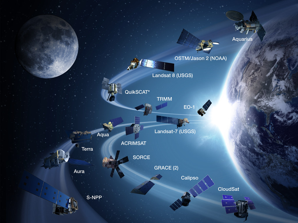
While satellites were not available during the early exploration and mapping eras, it’s worth noting that later advancements in satellite technology significantly enhanced our understanding of continents. Satellites equipped with remote sensing instruments allowed for comprehensive mapping of Earth’s surface, capturing detailed imagery and generating accurate topographic data.
Conclusion:
Before satellites revolutionized the way we observe and map our planet, determined explorers, meticulous surveyors, and visionary cartographers undertook incredible efforts to understand the shape of continents. Through ground surveys, celestial observations, and cartographic innovations, they pieced together the intricate puzzle of Earth’s land masses. While satellites have undoubtedly provided unprecedented insights and precision, the foundation of our knowledge about continent shapes was established by the intrepid explorers and skilled scientists who preceded them. Their remarkable contributions paved the way for the advancements that continue to shape our understanding of the Earth’s continents today.